CONQUERING MOUNT KINANGOP

Are you in for a real hiking experience? A hike that will introduce you to the real hiking journey? Mount Kinangop is here for you to explore. Mount Kinangop is a dormant volcano in the Kinangop Plateau, west of the Great Rift Valley and south of the Aberdare Ranges.
Mount Kinangop is rich in biodiversity with a thick forest plantation of pine and cypress, bamboo forest, and the moorland near the summit. The mountain is also rich in wildlife and a crucial water catchment area.
The forest benefits the residents with grazing areas for their animals. To promote afforestation, the Kenya Wildlife Service has collaborated with the residents, allowing the residents to plant crops between the tree seedlings in a process called agroforestry. This way residents are involved in taking care of tree seedlings and the growth of the forest.
Elevation of Mount Kinangop
The maximum elevation is 3906 meters above sea level
Elevation gain is 1263 meters
The hike distance is 28 km to the summit and back
Hike duration is approximately 7 to 10 hours, depending on your pace and resting time.
Mount Kingangop Hike

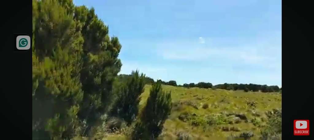
The hike to Mount Kinangop summit starts at the Kenya Wildlife Services offices at the entrance. The 28 km hike starts with a friendly flat road with pine and cypress tree plantations on both sides. You will meet residents herding their animals along the way. The hike to the actual starting point is 2 km.
There are two routes to Mt Kinangop: the direct Mutarakwa forest trail and the Elephant Hill route. The Elephant Hill route is a traverse through Elephant Hills to Mount Kinangop Peak and down through Mutarakwa to the ending point. It is a tough hike. We used the Mutarakwa forest route.
The bamboo forest
Once you enter the actual starting point, you will get into the bamboo forest. The vegetation between the bamboo forests is thick, almost covering up the trails. Be careful of the fallen logs and stinging nettles. This part is dimly lit due to the canopy the bamboo trees form. The trail is also slippery and muddy. This is the beginning of the actual hike, and it is hard. The hike is not beginner-friendly.
The moorland

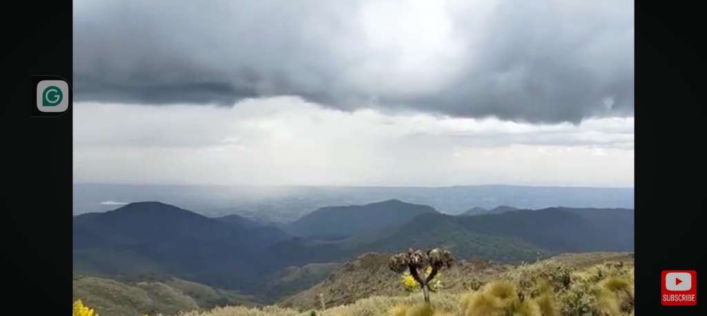
If you have been to the north of the Aberdare Ranges, you will notice the moorland there and the moorland in the south of the Aberdare Ranges are different. The moorland here consists of short bushy trees and tussock grass. This part of the hike is windy. On a clear day from this part of the trail, you will see Mount Kenya, which seems to be up in the clouds.
The Aberdare Ranges have been experiencing fire breakouts in the last few years. The vegetation here is just growing back.
On a lucky day, you will spot the wreckage of the 2013 aircraft crash and an elephant carcass, which shows there are cases of poaching in the area. This part of the hike is the resting place where you can rejuvenate and re-energize as you prepare to tackle the steep slope to the peak of Mount Kinangop.
To the peak of Mount Kinangop
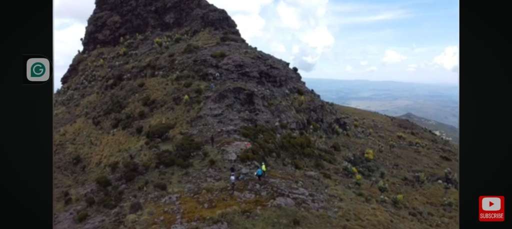
Getting to the summit is not a must; you scale to the peak, but many prefer to scale to the peak. If you have a phobia for heights, scaling to the peak should be your last thought in this hike. The difficult task of scaling to the peak starts at the base of Mount Kinangop.
To get to the peak, you will be forced to use your hands and legs; therefore, you will need gloves since the area is very cold. Scaling up to the peak is a life-threatening affair, and a slight mistake can send you rolling down to the base.
At the peak, you will feel like you are above the clouds. It is very windy and cold, and the views on a clear day are just out of this world.
Directions to Mount Kinangop
From Nairobi using public transport, you can take a matatu to Naivasha at Odeon, Nyamakima, or Tea Room. From Naivasha, you can connect to Kinangop Plateau by taxi or motorcycle. If you are using private transport, you will use the A104 route, which is the Nakuru-Nairobi highway, then divert at Limuru Road or the flyover to Mutarakwa. It is 113.8 km and takes approximately 2 hours 34 minutes.
To avoid all this trouble, you can visit Mount Kinangop through us. It is easier, safer, and more convenient.
Preparation for Mount Kinangop Hike
Mount Kinangop Hike is a tough hike that needs intense preparation and a hiking experience.
Cardiovascular endurance
This is how your heart and lungs can supply the oxygen you need while exercising or hiking. When you have good cardiovascular endurance, you can go for a long and difficult hike. You can improve your cardiovascular endurance by doing the following exercises two weeks before the hike.
1. Cycling
2. Swimming
3. Jumping rope
4. Climbing stairs
5. Running
Training for your muscles.
Strength in the legs, core, and upper body is important when hiking tough mountains like Mount Kinangop. For the legs, you should do squats, lunges, and step-ups. For the core, do the planks and Russian twists. For the upper body, you should do push-ups and pull-ups.
Before you go hiking Mount Kinangop, practice hiking smaller mountains and hills like Elephant Hills, Table Mountain, Mount Longonot, and William Hills. This will help to improve your stamina and fitness.
The gear essentials
1. Bring 2-3 liters of water
2. Bring enough snacks for energy
3. Waterproof hiking boots
4. Quick-drying pants and t-shirts and fleece jacket
5. Rain poncho, rain jacket, and rain pants.
6. A Marvin and gloves.
Avoid cotton clothes.
Extra tips
1. Eat a heavy, balanced diet one week before the hiking day.
2. Increase your water intake one week before the hiking day. This will help you to manage the effects that come with the change in attitude.
3. If you are on a diet of intermittent fasting, take a break. You should eat well to have enough energy to hike up the mountain.
4. Take enough rest 3 days before the hike with enough sleep. You can also take a break from the exercises and focus on stretches.
5. On the day of the hike, take your breakfast three hours before the hike to give the food enough time for digestion.
The best time to hike Mount Kinangop
You can visit Mount Kinangop any time of the season. The weather here is wet throughout the year with short and long rains. The area is also generally very cold.
The best time to visit is during the short rains from January to March. The month of March is windy around the mountain.
During the heavy rains, the bamboo part is muddy and slippery. The trail is made worse by the animal’s footprints, such that to get through the trail you have to get into the mud. Waterproof high boots are highly recommended. The moorland area becomes very swampy, and you have to get in the water to get to the base of Mount Kinangop. During the heavy rain, it is hard to see the surrounding landscape since it is foggy.
Safety tips and responsible hiking in Mount Kinangop

You should go hiking Mount Kinangop as a group for safety reasons. Make sure you keep up with the group. Do not be left far behind. Do your best to conserve the environment. Do not throw away plastic wrappings everywhere and carry water with a reusable water bottle. Start your hike early so that you get back before it is dark.
Kenya is beautiful, and there is a lot to explore. Do not be left behind; we got you. Book with us for an adventure like no other, with fun, affordable, and safe adventures.

